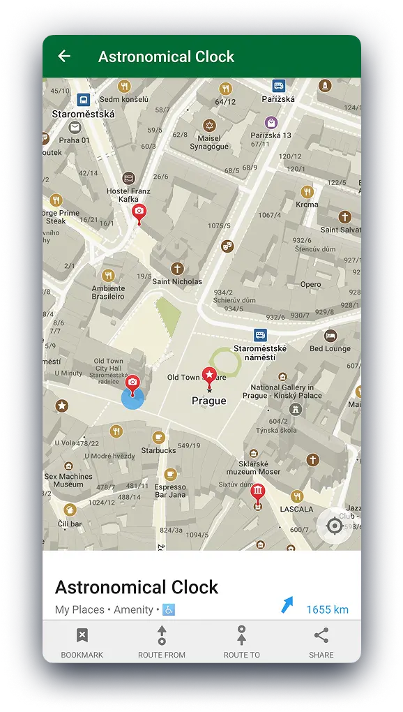
Discussion summary
CoMaps is an open-source offline map solution praised for hiking and sharing features, but faces issues like low contrast in dark mode. Users express interest in desktop and car navigation integrations.
What the discussion says
- Protomaps is recommended as an open-source alternative.
- Dark mode map contrast is a concern.
- Users want desktop and car navigation support.
- Some prefer Mapy.com for rendering quality.
“Protomaps is also great for that. open source and straightforward”
“The dark map is basically unusable due to lack of contrast.”
Join the discussion
Write your take first — we'll ask for email only when you're ready to publish.
- Hacker News
- This is the only app that allows you to easily add stops and permanently save paths for biking. Honestly a life changer.by himata4113
- What FOSS maps need is user generated content. For example, having "swimming spot" on my map is not really that useful - it needs photos, some description, additional information of what it actually is and how to reach it as bare minimum to be actually competitive.
OSM argues that it's a "map database" but it stores labels like "opening hours" and "social media links" - why stop there? The UGC vs non-UGC debate has been the biggest crutch of all open map projects and no one managed to solve it yet.
by wraptile - Probably posted because of related recent discussion on OrganicMaps https://news.ycombinator.com/item?id=48794446
- Anyone here has been using coMaps and care to share their experience, especially in comparison to OrganicMaps?
My only complaint to OrganicMaps was the slowness to calculate a direction, which in part is certainly because the path is calculated locally instead of some cloud server but old garmin devices also weren't online and can calculate paths on far less powerful hardware. So I'm guessing there is room for improvement on that part.
by nunobrito - One of the main things that keeps me from using essentially all OSM-based mapping apps as my primary is that search seems incredibly bad. I can't blend city and name, road and category, can't usually filter by features or open time, and results are almost always something like:
Are there any apps that do this better? Android and desktop (e.g. linux) ideally. I'd love to use them more, but I've had endless problems using them. Good map data is kinda useless if it can't be retrieved, and trying to work around it by panning around and manually saving a hundred or so favorites really kinda sucks.- a result 500 feet away that sounds nothing like what you searched for - a result 23 miles away that shares one word but nothing else - a result 572 miles away that has a business name that contains exactly what was searched - ... nowhere is there an exact full-name match that is 1.3 miles away, which can easily be found by exploring the mapby Groxx - Relevant thread from yesterday's thread on the original project this was forked from
https://news.ycombinator.com/item?id=48794575
https://itsfoss.com/news/organic-maps-fork-comaps/
> Despite being advertised as a community-driven project, key decisions, including financial management, partnerships (with Kayak, for instance), and the inclusion of proprietary components in the code were made by a small group of shareholders, often without input from the broader contributor community.
by random3 - I've read both Organic Maps thread https://news.ycombinator.com/item?id=48794446 (as it's my favorite map app I use for years around the world, and I'm an active OSM contributor as well) which quickly became overrun with CoMaps followers trash-talking about OM, now this thread appears.
What I find interesting to see, and I think it's not just me who can see this - that basically every mention of CoMaps and why it is good and Organic is bad is it not only seems to be mostly written not by a regular users, but by people who contribute to CoMaps (!) - they all fail to show why exactly anybody should migrate from established app with authors who have years of experience of making Maps.Me and OM - to a basically a no-name (based on downloads) clone who is made by... "community"? We don't even know who that is, original developers and people with experience are not involved.
All the talk is not about functionality of the app or anything which is actually important to users - it's all basically complaints about some kind of _internal drama_, add some misleading stuff about "dying project" or "lost community" from some commenters. So many cries about "ads" which are not actually ads but affiliate links in hotels POI which nobody clicks anyway, it's so mild it's just weird to lament about, at least I as a long time user see no issue at all.
I can advise CoMaps community to focus on developing the app which can actually make real users migrate and use because of functionality, speed or other things that matter, instead of making your community look toxic because of this trash-talk. Show real improvements in comparison with OM - make live maps updates like OSMAnd, make bookmark folders with specific colors tied to it, make app barely eat any battery, make convenient and powerful interface to add data to the map - then people will move. But for now Organic Maps is totally fine and many people like me see no reason to move from it anywhere.
by ponkipo - I use CoMaps, it works great. You get notified in the app to download the updated maps you selected every 2 weeks or so. Could be wildly different than that, just what I notice.
It's timing estimates are often 5-15 minutes off Apple Maps, which I find accurate, on ~two hour drives, but I imagine it depends on the traffic.
To improve OpenStreetMap, which CoMaps uses as the data source, I use StreetComplete[1]–it puts quests around your location which ask you questions, it's user-friendly. A thoughtful feature is that it lets you download data in a location on wifi, in case you didn't want to use cellular.
OpenStreetMap is like Wikipedia for mapping, anyone can contribute and improve the map, and StreetComplete is like Pokemon Go in the sense that you walk around and complete quests, except StreetComplete helps humanity, while Pokemon Go[2]....
I should check to see if I can notice my StreetComplete edits getting onto CoMaps. Might be hard because they're often about accessibility at crosswalks. I've seen quests asking the number of stairs in a staircase. Seriously, is there anything they don't collect?
[1] https://streetcomplete.app/
[2] Pokémon Go Scans Trained the Navigation Tech for Military Drones https://news.ycombinator.com/item?id=48487029 26 days ago 317 comments
by Cider9986