Join the discussion

Write your take first — we'll ask for email only when you're ready to publish.

  • Hacker News
  • What's the material difference between this and Trump's "my button is bigger"[1] nonsense or the renaming of various bodies of water? I know the UN claims that "Correcting cartographic distortions of continental sizes constitutes an act of cognitive justice and memorial reparation." but it's purely symbolic and changes nothing geopolitically.

    My personal favourite equal-area projection is something like Boggs eumorphic[2] because it doesn't distort the east and westmost polar regions quite as badly. The value of a geographic projection is in its utility for the task at hand, not whether it flatters the correct countries.

    [1] https://www.bbc.com/news/world-asia-42549687

    [2] https://en.wikipedia.org/wiki/Boggs_eumorphic_projection

  • The UN is a body that is intended to facilitate global cooperation. This symbolic change better represents the body's members and updates an incorrect visualization, which leads to better cooperation and representation.

    Trump's renaming changes serve his own whims and selfish ego, they perform the opposite effect and hinder global cooperation.

  • It's not the most pressing issue in the world, but long-term, maps do shape conceptions about the world that we don't personally know. So it might be symbolic, but symbols are powerful.
  • >I know the UN claims that "Correcting cartographic distortions of continental sizes constitutes an act of cognitive justice and memorial reparation." but it's purely symbolic and changes nothing geopolitically.

    Symbols are arguably the most important aspect of geopolitics.

  • For the purposes I use world maps for, correct relative sizing is the paramount thing I'm looking for in a projection. I generally use it to give me a rough idea of distances. Boggs seems inferior, at a glance I have no idea how far it is from NYC to London, for example. I feel like Mercator is similarly bad in terms of distances being uniform. What do you use maps for where Boggs is superior?
  • > I know the UN claims that "Correcting cartographic distortions of continental sizes constitutes an act of cognitive justice and memorial reparation." but it's purely symbolic and changes nothing geopolitically.

    This is kind of personally embarrassing, but due to seeing Mercator maps all the time growing up it wasn't until later in life that I realized that Greenland isn't actually a gigantic landmass the size of Africa.

    > The value of a geographic projection is in its utility for the task at hand

    Other than maritime navigation, I can't think of many tasks where Mercator would be more useful than an equal-area projection.

  • The main difference is that the UN didn’t force anything and isn’t unilaterally deciding what projection to use. The countries decided together to use a new default when showing the world map, that’s it. You can still use whatever projection you want, nothing will happen to you.

    > it's purely symbolic and changes nothing geopolitically.

    That’s literally what the UN is for. The UN isn’t a supranational organization fixing conflicts. It’s a forum for countries to discuss and agree on things, in practice that means mostly symbolic decisions pass. Which is fine, symbols and defaults matter

  • Yes mercator distorts size at high latitudes. But it preserves angles which is more important for many (most?) mapping applications. Literally no one is using a mercator projection to determine size at the continental scale. We use mercator for navigation and for local maps. It keeps everything at right angles. Roads that run N-S look like vertical lines. If something is to the lower-left, that's south-west. These characteristics make it ideal for most maps.

    The UN has only one mapping application - to equitably portray the world's country boundaries. In the larger space of potential maps, this is pretty niche. As a result, they need a niche projection.

  • > We use mercator for navigation and for local maps

    Nautical charts use Mercator projection, but aviation charts typically use the Lambert conformal conic projection (LCC).

    https://en.wikipedia.org/wiki/Lambert_conformal_conic_projec...

    To quote the article: "Pilots use aeronautical charts based on LCC because a straight line ... approximates a great-circle route between endpoints for typical flight distances"

  • Robinson projection is a good enough, boring compromise, if the UN was interested in that.
  • I like the aesthetics of Robinson, but it gives you the worst of both worlds: it's neither conformal like Mercator nor equal-area for honest data visualization. It's essentially a spline fit over 38 arbitrary numbers chosen to look nice, whereas Equal Earth accomplishes true equal area with a clean, 4-coefficient polynomial.

    Equal Earth is basically Robinson with a more straightforward formula and accurate areas.

  • That is the best one, no idea why its not standard.
  • https://xkcd.com/977/

    I have a Waterman on my wall :)

  • “Robinson projection” makes me think of Canadian fasteners.
  • I could’ve sworn that Robinson had already replaced Mercator by the ‘90s, so I was surprised to see defenders of the latter.
  • Here's an image I made to show the difference between Robinson and Equal Earth:

    https://commons.wikimedia.org/wiki/File:Comparison_of_Equal_...

    Whichever you prefer, what matters is that we should all just stop using Mercator.

  • I'm partial to the Goode Homolosine projection, next is whatever NatGeo standardized on. Of course, the best is an actual globe --but decent sized ones are too expensive and the beach ball ones are just not very well made.
    by mc32
  • No one needs a compromise. The world (except the US) agreed to use this new map together. It's not a conflict.
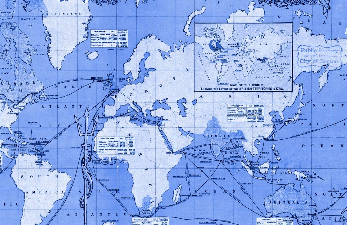
  • It's kind of funny how the colonial convenience of having the 0 longitude line pass through Greenwich, UK ends up making Africa the most prominent place on the world map, since the centerpoint (0,0) is just off the African coast. This was true with Mercator as well, but Equal Earth emphasizes just how huge the African continent actually is.
  • Well, I'm sure people wish Africa wasn't so smack dab in the center, haha. But, you can't ignore it without making Europe also peripheral, not unless you exchange longitude for latitude and vice versa.

    And fun fact, Ghana is the country closest to point where the prime meridian intersects the equator.

  • Yeah, the prime meridian selection is the actually colonial part of the Mercator map. It's not like they were trying to make Europe look big, but they were trying to make London central.
  • In an alternate reality, the prime meridian could have been chosen to pass through Florence, making 180° and the edges of the world map pass cleanly through the Bering Strait.
  • https://en.wikipedia.org/wiki/Washington_meridians

      The Washington meridians are four meridians that were used as prime meridians in the United States which pass through Washington, D.C.
  • For a while, France had its own prime meridian with 0 degrees passing of course through Paris: https://en.wikipedia.org/wiki/Paris_meridian
  • The location of the 0 longitude line has less to do with the British colonial empire as such, and more to do with the fact that the British were the first people on Earth to invent a way of measuring longitude at sea accurately (John Harrison's famous marine chronometer). Of course these are ultimately related facts - the same package of technology that allowed the British to produce people like John Harrison who were capable of innovating a marine chronometer also allowed them to produce ocean-going ships that could conquer a global maritime colonial empire (and that had a use for marine chronometers).

    There was in fact a rival 0 longitude line passing through Paris, France, that the French used for many years before standardizing on the British system; although this system would equally have resulted in the 0,0 point being somewhere in the ocean west of the African coast.

  • Ya people have no idea how big Africa truly is

    Here is the UK in Africa: https://thetruesize.com/#?borders=1~!MTAyODQ3Nzg.NTkyNDI2Nw*...

    Note of course this includes Scotland! The traditional English are basically a dot.

  • And people have no idea how diverse the cultures in Africa are.
  • And northern Ireland
  • > Note of course this includes Scotland!

    Don't worry; Americans assume as a matter of course that England includes Scotland. Your internal political divisions are of interest only to you.

    The widget also appears to include Northern Ireland, which, unlike Scotland, Americans probably wouldn't expect.

  • I would expect that most people have seen a globe at least once in their life though? ;)