Join the discussion
Write your take first — we'll ask for email only when you're ready to publish.
- Hacker News
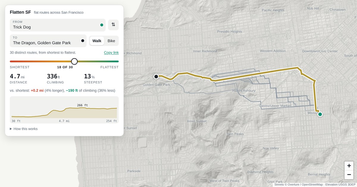
- There's a weird thing going on at 22nd and San Jose in the Mission, where it doesn't seem to understand that you can simply continue down 22nd, but instead takes a hook down San Jose before backtracking. I see some other weird discontinuities like this as I click around.
I have to say that the Claude UI has made many inexplicable decisions here, including (but not limited to) the mysterious color coding, the confusing continuous slider over a discrete set, and the weird positioning of the height labels in the altitude graph.
- Nice visualization. For proper turn by turn directions, Valhalla [1] could help. It has elevation support so this could theoretically be built with it[2], or you just send the shape of your flattest route and it annotates it with guidance.
[1]: https://github.com/valhalla/valhalla
[2]: Currently it only supports 30m resolution for elevation unfortunately
by bwnkl - Isn't this a bit like the "Is there alligators in the water?" test, yep its wet, there's alligators....Is the route SF hilly? yes!by hacker-bob
- The wiggle!
(in honor of my old commute, which I miss)
https://flattensf.com/#t~-122.40850~37.77493~-122.50940~37.7...
by pokpokpok - It's not accurate. I mapped it from my house on Cabrillo St in the outer Richmond to 4th avenue and it says I need to climb 25th avenue then walk Geary instead of correctly telling me to use 23rd avenue that is completely flat.by danserfaty
- It would be neat if it there were an option which added distance and elevation gain, but minimized the grade.
For example, a route from SOMA to Nob Hill can be made flatter by approaching from either the east or west. Technically the "flattest" as measured by elevation gain between the two is straight up Taylor from Market, but it's much nicer to bike to the top of Nob Hill by going out of the way (e.g. Polk → California, Embarcadero → Broadway, etc.)
by jez - Checkout https://bikehopper.org for solid elevation, bike infrastructure and transit-aware routing around the Bay Area. Some friends and I built this about 5 years ago and continue to maintain it. We use 1m DTM elevation data for SF and 50m for rural areas. DTM is a must for elevation based routing in SF as there are so many sizable buildings, large trees the other models fail hard.
- Flattest or most level? They're different, but related measurements.
A surface can be flat while still increasing or decreasing in relative elevation.
by voxadam